Active Fault and Paleoearthquake Researches No. 7 (2007)
Cover |
Back cover |
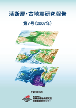
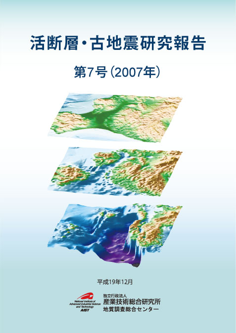
Cover figure
Bird view of the Ishikari and Yūfutsu sedimentary basin structure model.
(Top) Topography. (Middle) Top of the Neogene layer (Bottom) Top of the seismic bedrock. For the purpose of computation of long-period ground motion, we compiled existing geological maps, reflection/refraction seismic surveys, gravity and borehole logging data to construct three dimensional velocity structure data for the sedimentary basin. See reports by Yoshida et al. (pages 1-29).

Geological Survey of Japan, AIST
- About GSJ
- Our Activities
- Purchase guide
-
Publications and Database
- information
- Bulletin of the Geological Survey of Japan
- bull2025(Vol.76)
- bull2024(Vol.75)
- bull2023(Vol.74)
- bull2022(Vol.73)
- bull2021(Vol.72)
- bull2020(Vol.71)
- bull2019(Vol.70)
- bull2018(Vol.69)
- bull2017(Vol.68)
- bull2016(Vol.67)
- bull2015(Vol.66)
- bull2014(Vol.65)
- bull2013(Vol.64)
- bull2012(Vol.63)
- bull2011(Vol.62)
- bull2010(Vol.61)
- bull2009(Vol.60)
- bull2008(Vol.59)
- bull2007(Vol.58)
- bull2006(Vol.57)
- bull2005(Vol.56)
- bull2004(Vol.55)
- bull2003(Vol.54)
- bull2002(Vol.53)
- bull2001(Vol.52)
- Bulletin of the Geological Survey of Japan(old)
- Annual Report on Active Fault and Paleoearthquake Researches
- Reports, Geological Survey of Japan
- CCOP-GSJ Groundwater Project Report
- CCOP Technical Bulletin
- Cruise Report
- Geological Hazards
- Learning and Education
- GSJ Database Collection
- Collection of links

