Geochemical Maps
-Look at Japan as Element Concentration-
Last Updated: April 13, 2021
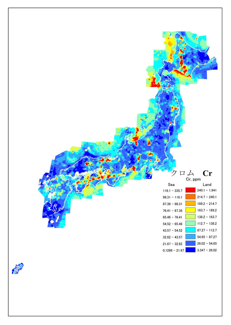
An accurate understanding of elemental distributions is indispensable for elucidating the migration and dispersion of various elements on Earth. We have collected and analyzed about 3000 river sediment samples and about 5000 samples of marine sediments from around Japan. The Geochemical Map of Japan, compiled from these results, is the world’s first comprehensive attempt to represent the distribution of elements across the country, connecting land and sea seamlessly. Elemental distribution and movement, both on land and in the coastal sediments of Japan, can clearly be seen on the map.
The Geochemical Map, the sampling locations, and the concentration values of each element are compiled as a database and made widely available to the public on the Internet. Recently, the Geochemical Map has been projected onto a topographic map and has been released as the 3D Geochemical Map. We also published detailed geochemical maps of the Kanto and Chubu regions. In these maps, the geochemical data are obtained with a spatial resolution ten times higher than those of the nationwide Geochemical Map. We are currently working on a detailed geochemical map of the Kansai region.
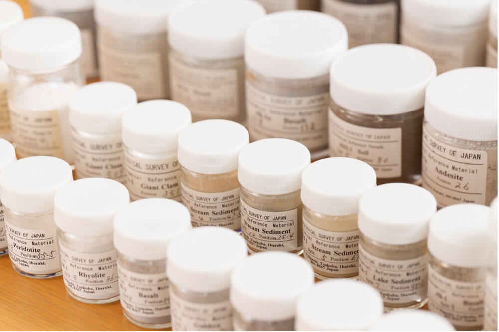
Providing reference samples of world standard
The Geological Survey of Japan has been producing reference materials for geological samples for more than 50 years. The chemical and isotopic composition and geological age of these reference materials are highly reliable. These data were obtained from collaborative research with various research institutes throughout the world.
Reference materials are now required to comply with ISO international standards. GSJ is accredited as a reference material producer under ISO 17034 and ISO 17025. All of our newly prepared reference samples are certified by ISO.
Link:
A page from the Geochemical Map of Japan, showing the distribution of chromium.
Geochemical reference materials (Photo by YASUTOMO Yasuhiro/GSJ).


